PRECISION AGRICULTURE
Technology, data and farming
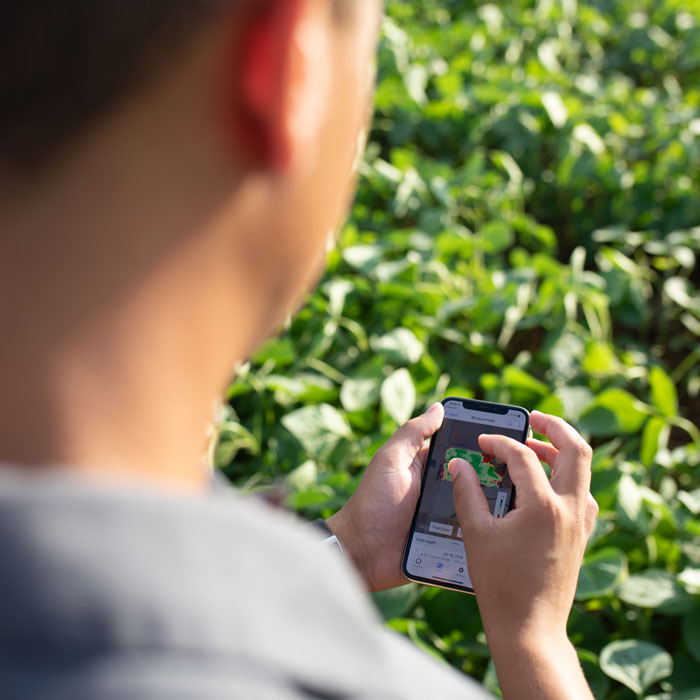
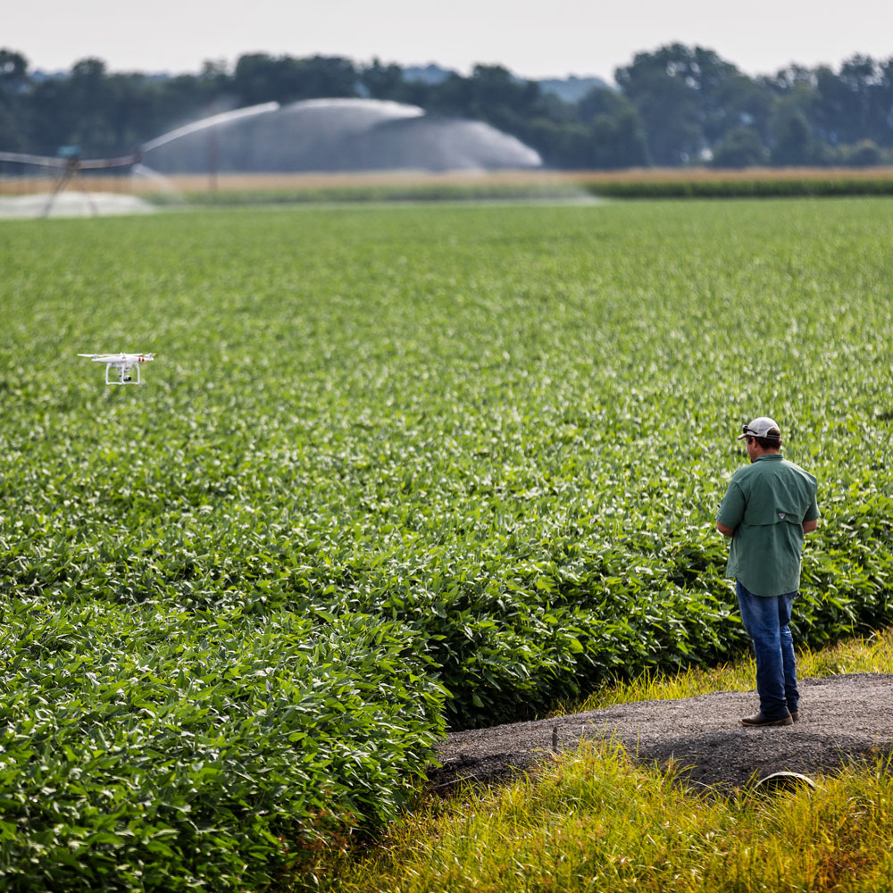
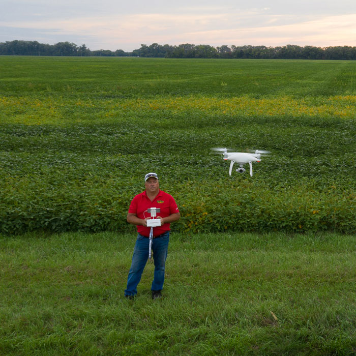
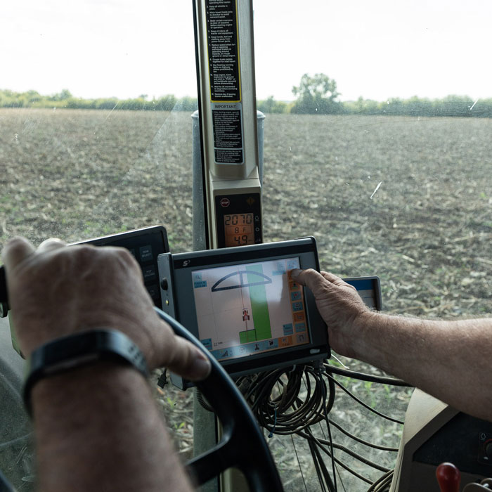
Farmers have many tools that capture details in their field – from how many seeds are planted to how many pests are in different parts of the field. This data helps them make decisions to grow a more productive and sustainable crop using the right product in the right place in the right amount at the right rate.
R 01
The Right Product
Applying the correct nutrients is a vital part of precision agriculture. Farmers need to know what nutrients already exist in the soil for the crop they are growing to determine what additional fertilizers are needed for a productive crop.
R 02
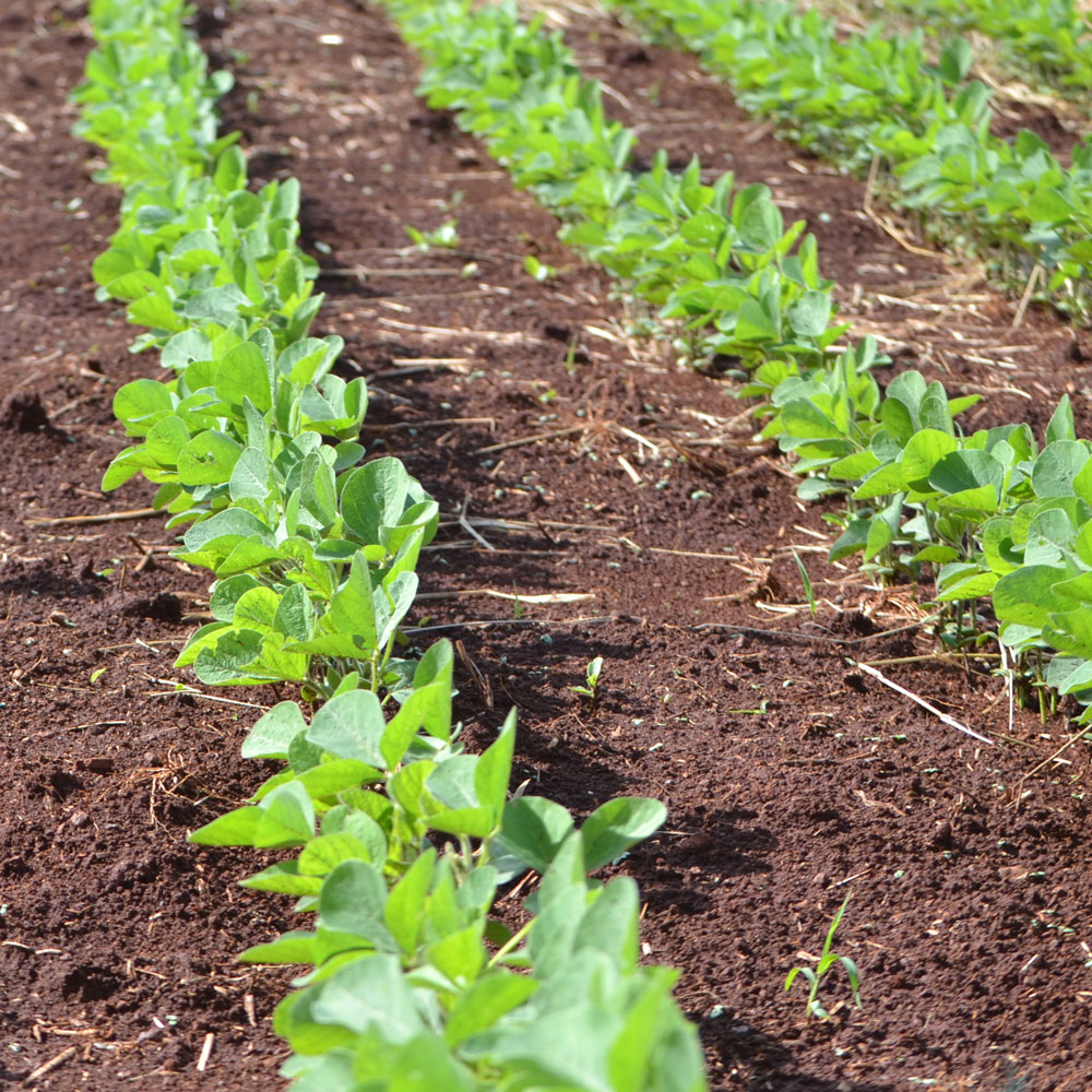
The Right Place
The entire field won’t have the same nutrient needs. Thanks to technology, producers can decipher what specific areas of a field need and apply the correct nutrients to each section.
R 03
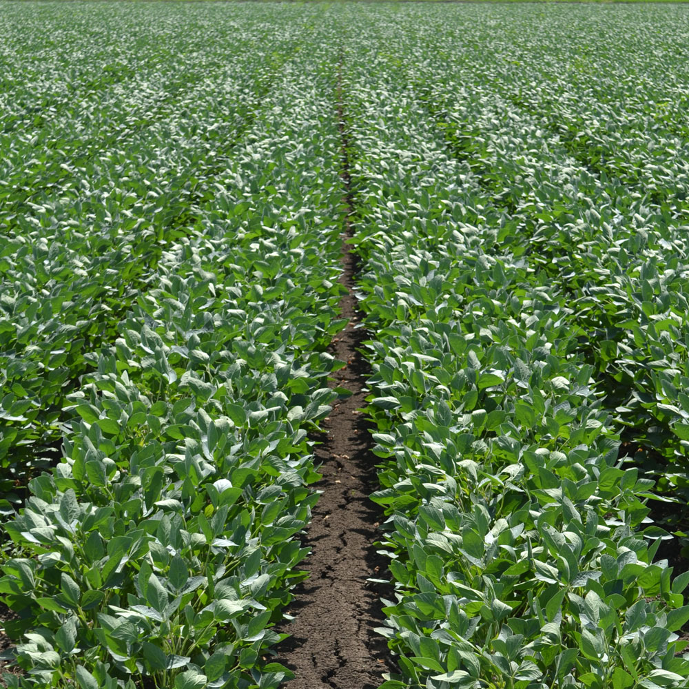
The Right Amount
Inputs such as fertilizers can be expensive. Farmers don’t want to be wasteful and overapply nutrients to fields. Precision agriculture tools help them apply just what’s needed.
R 04
The Right Time
The maturity of the crop and the weather are just two examples of timing considerations that must be accounted for. Crops need different nutrients throughout their growing cycle.
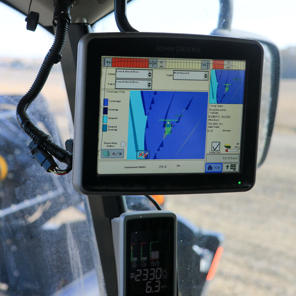
Equipment makes this possible
Remote sensing
Grid soil sampling
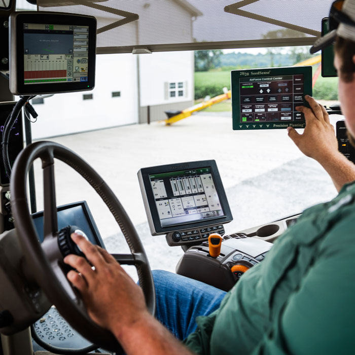
Variable rating
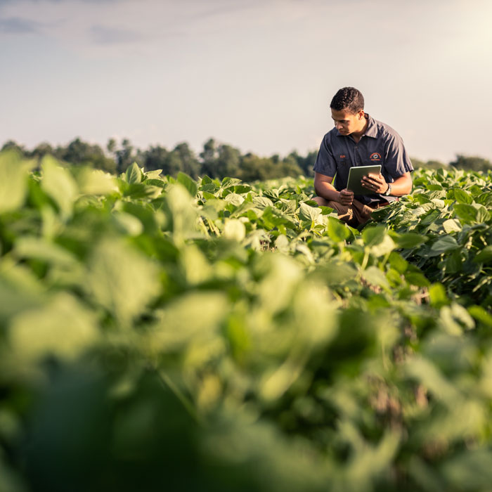
Crop scouting
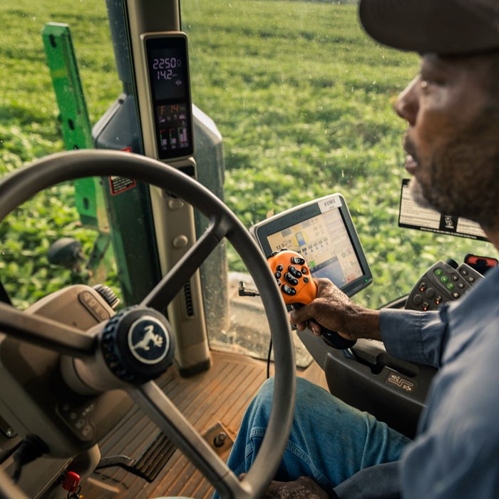
Global Positioning System
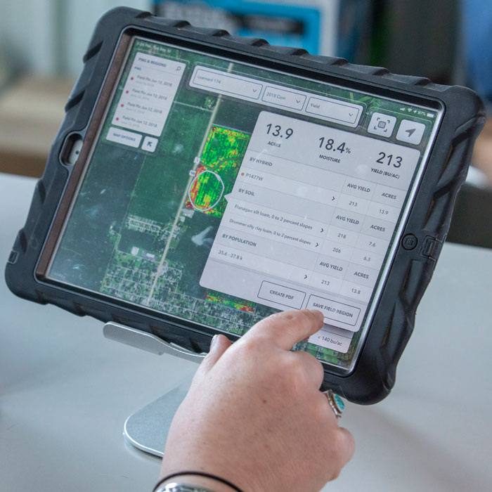
Yield monitoring and mapping